


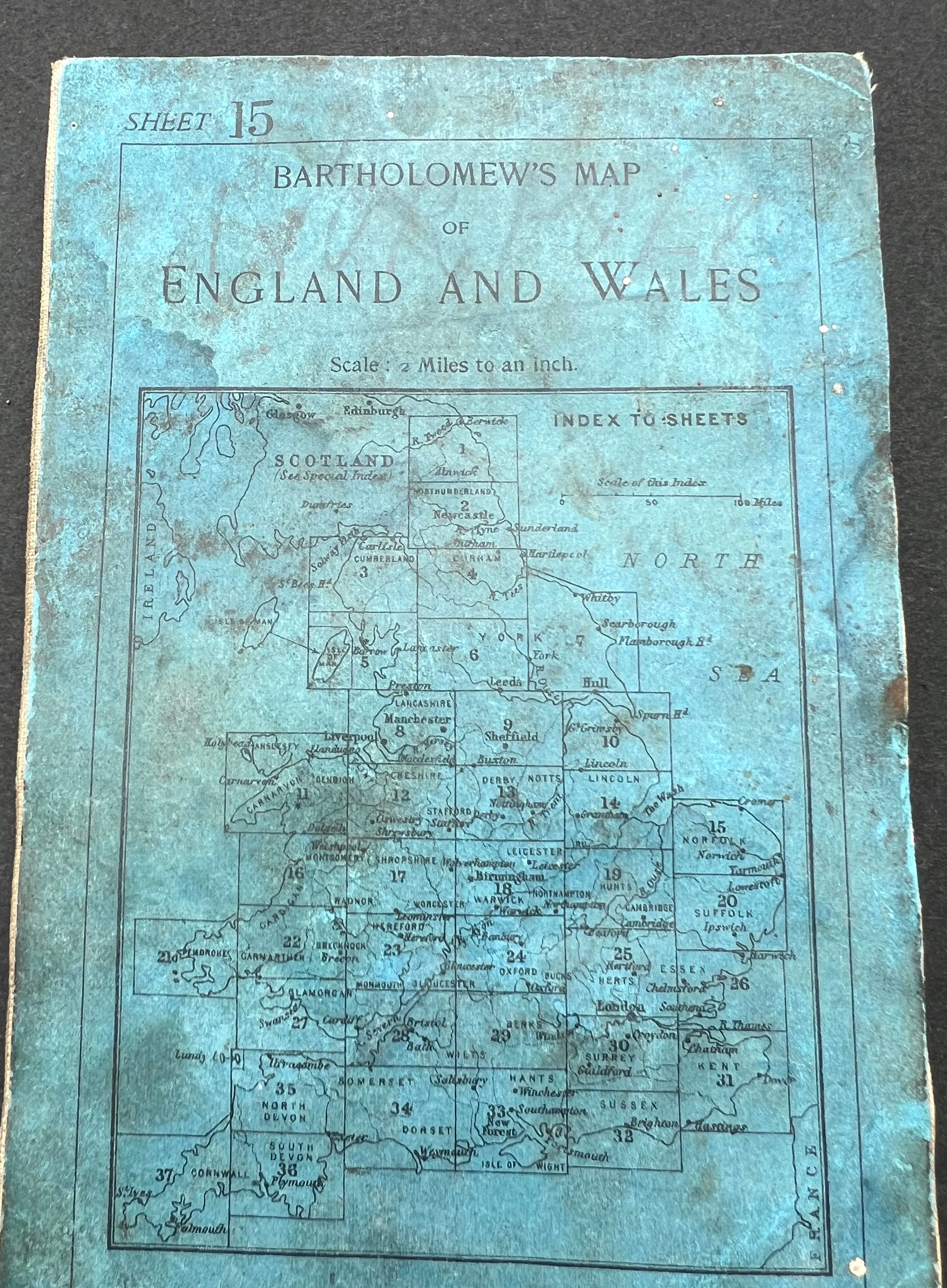
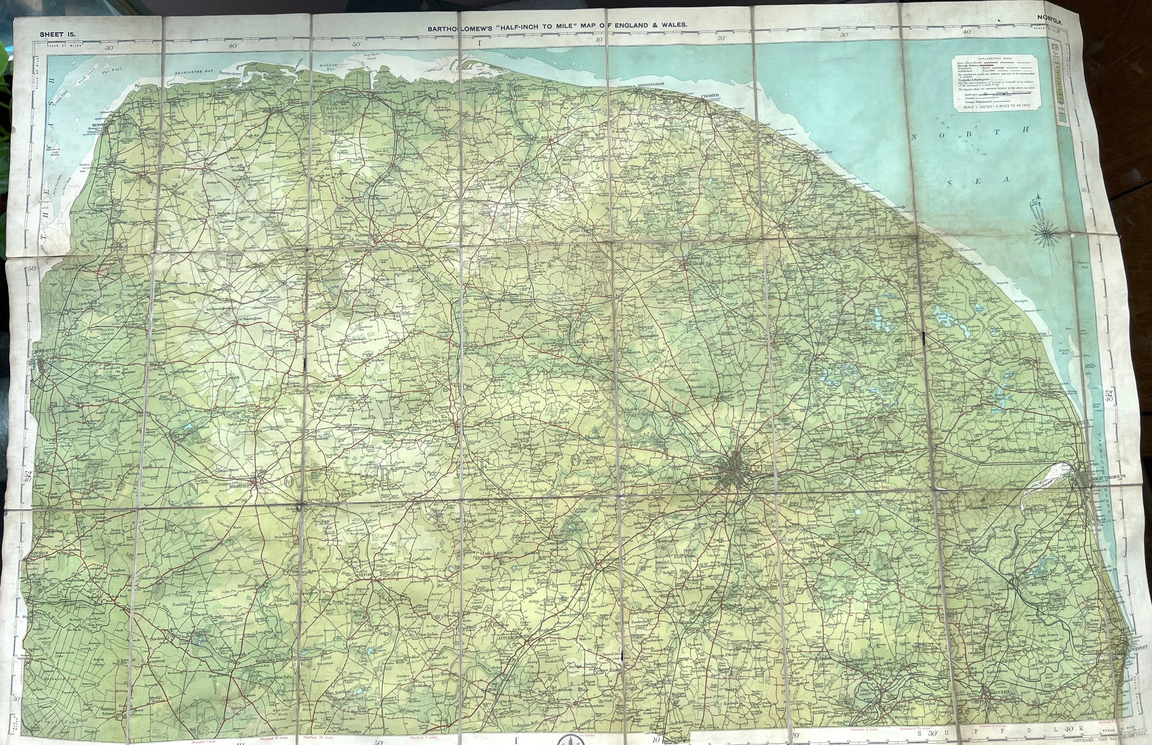
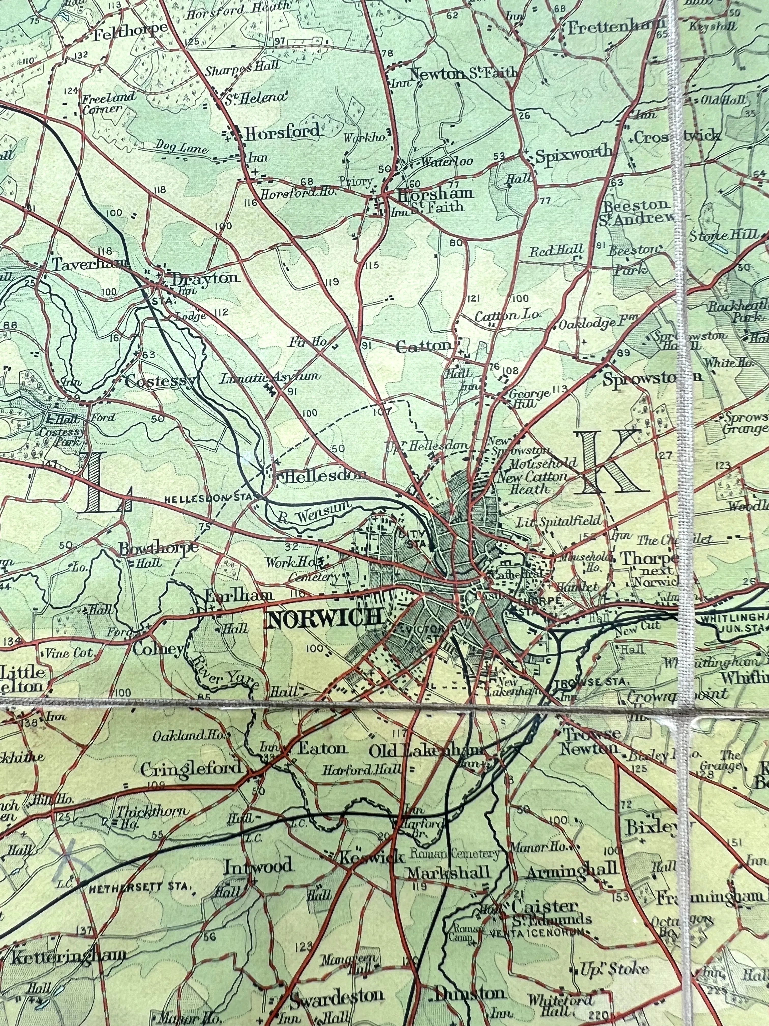
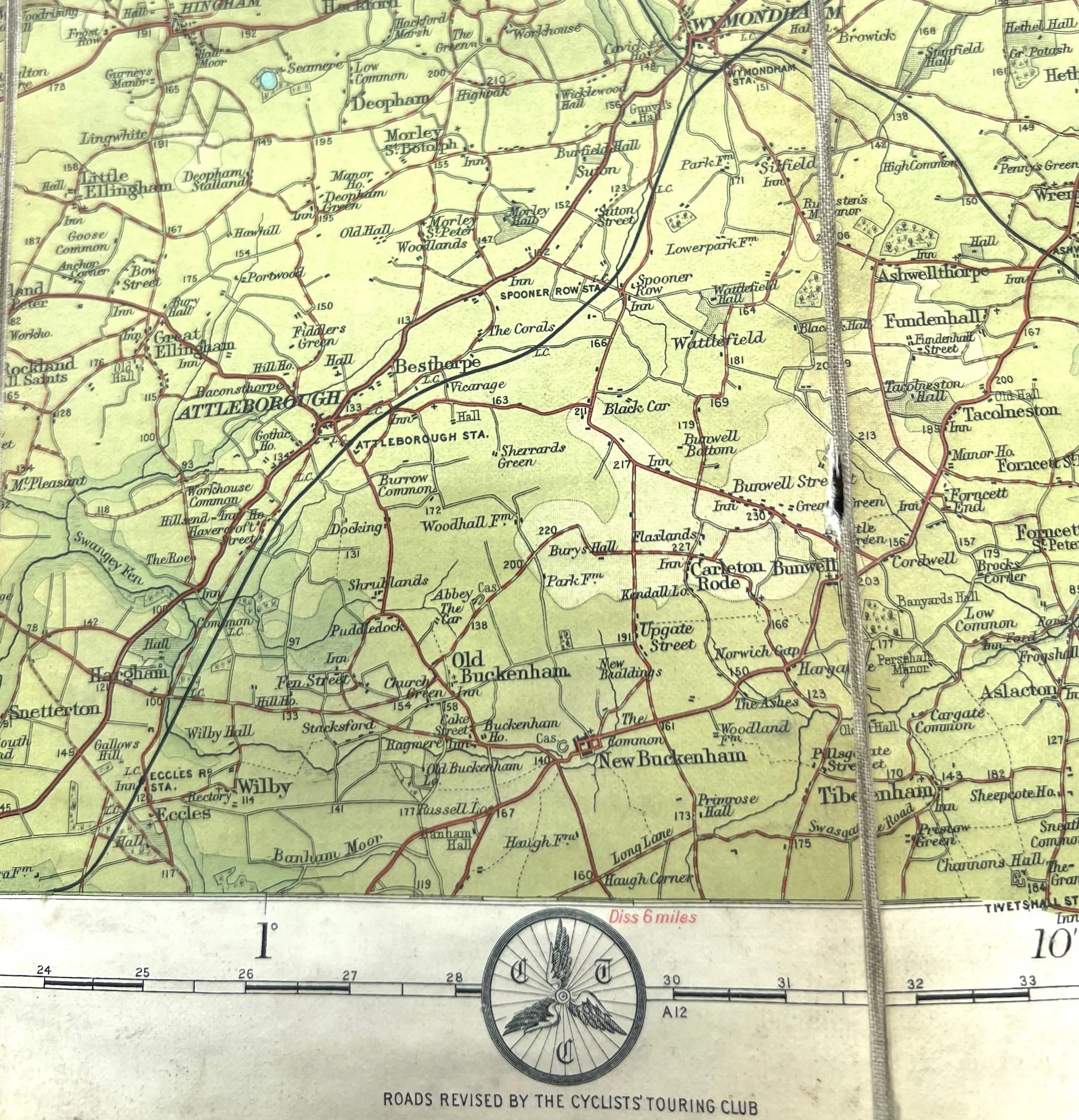


Bartholomew’s Map of England and Wales Norfolk (Sheet 15)
2 miles to 1"
A detailed and fascinating 1920s (undated) map of Norfolk.
Fascinating details - camps, stately homes, ancient sites, old railway stations, lots of long disappeared landmarks.
Colour printed paper, cloth backed, dissected.
Worn cover and faded inside but all details clearly visible.
